Mount Marcy Via Van Hoevenberg Trail Review

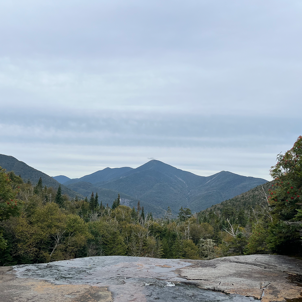
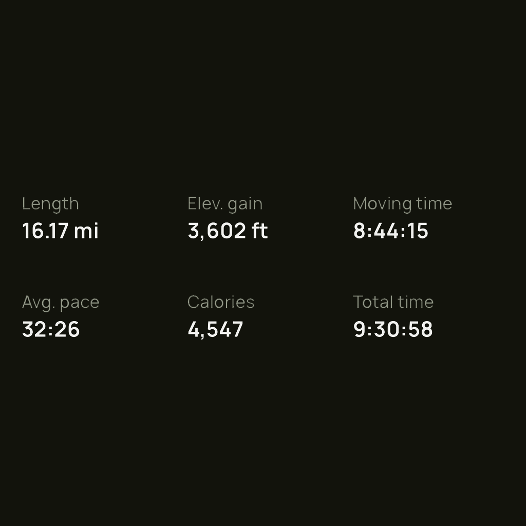
Mount Marcy had been a bucket-list hike for me for quite some time. After reading countless posts and watching plenty of YouTube vlogs, I decided to give it a shot. I’ve been seriously hiking for a couple of years, but before tackling Marcy, the furthest distance I had covered was 10 miles with 2,600 feet of elevation gain.

Marcy is considered a difficult hike, but it’s doable as a first for the high peaks. Given the long distance and rapid weather changes, planning is crucial to having a positive experience. Even preparing for parking is a very important step.

The trailhead parking lot is located at the Adirondack Lodge. I’d recommend using GPS if possible since you will lose cell signal along the route, and it’s practically non-existent on the trail. Despite having four parking lots, finding a spot is extremely competitive. I arrived at the lot around 6:20 am, and by 6:40, everything was basically filled up. If you don’t get there in time, there is overflow parking, but it will add about 2-3 miles to the hike. The parking fee is $15 cash, so make sure to prepare for that.

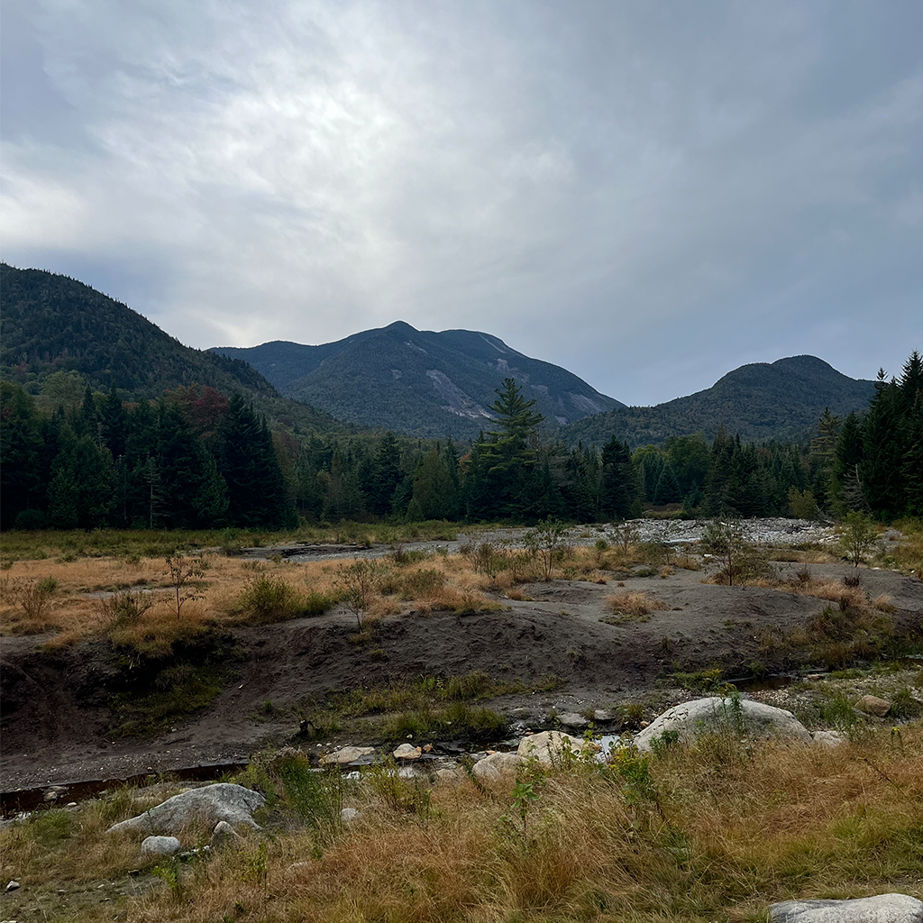
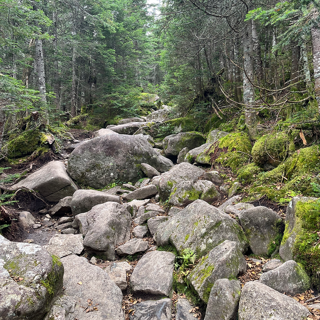
The trail starts just past the sign-in sheet area. The initial 2-3 miles of the hike are smooth and easy. You’ll pass by Marcy Dam along the way, which is an option for overnight camping.

Around the 3.5-mile mark is the detour for Indian Falls. I highly recommend stopping; the view is incredible, and there’s plenty of space to take a break and eat.

The trail becomes very rocky, steep, and muddy after the detour. I thought it would be relatively dry since it hadn’t rained for a couple of days prior, but this was not the case. Honestly, I can’t even imagine how bad it gets after a storm. Parts of the trail are completely underwater, and the brush is pretty dense to detour around it. To be prepared, I’d suggest packing an extra pair of socks.

The 3-5 mile section is definitely difficult, but I’d say the next 3-4 miles are even tougher. The rocks become even bigger, with a steep grade, which continues until the final pushes of the hike.

The last mile requires climbing and scrambling. Poles and good grip boots will help. By this point in the hike, the wind will have picked up significantly, and the temperature will have dropped. Layering is crucial, along with potentially packing a hat and gloves. I did this hike in mid-September, and despite temperatures at the bottom being in the 60s, the summit dipped into the 20s.

The wind speed can be really crazy; when I went, it was 35 mph. This can be a factor during the exposed section in the last 800 feet of the hike. I found that climbing about 100 feet at a time and taking cover helped time when the wind would be lighter.

The view during this section is absolutely incredible and really motivates you to reach the top. The peak is definitely worth it and extremely rewarding. It was a bit cloudy when I went, but the effect of being in the clouds was super cool.

I’d recommend taking a short rest before heading down because the descent is pretty rough. All the boulders and mud require careful footing. This, combined with the long distance, can be very tiring. Don’t get me wrong; the summit absolutely makes it all worth it, but be prepared for one of the longest descents you’ll ever do.

Once you get back to the parking lot, you’ll be so relieved that you woke up early enough to get a parking spot. At that point, my legs were really shot, and it would have been brutal to go the extra 2 miles.

All in all, I’d say this hike is a great one to build up to. I wouldn’t recommend trying it without tackling some smaller peaks first, but it’s by no means for experts only. The payoff is worth the challenging trail conditions and long distance, in my opinion, and I can see why this is one of the most popular hikes on the East Coast.

WHO I'D RECOMMEND THIS HIKE TO

  • Those looking for a challenging hike with long distance
  • Those looking for an exposed summit with amazing 360 views
  • Those looking to test their abilities before doing more difficult high peaks

My Stats

Alltrails

Connect With Us